NeuraLog
Accurately convert scanned logs into workstation-ready digital data.
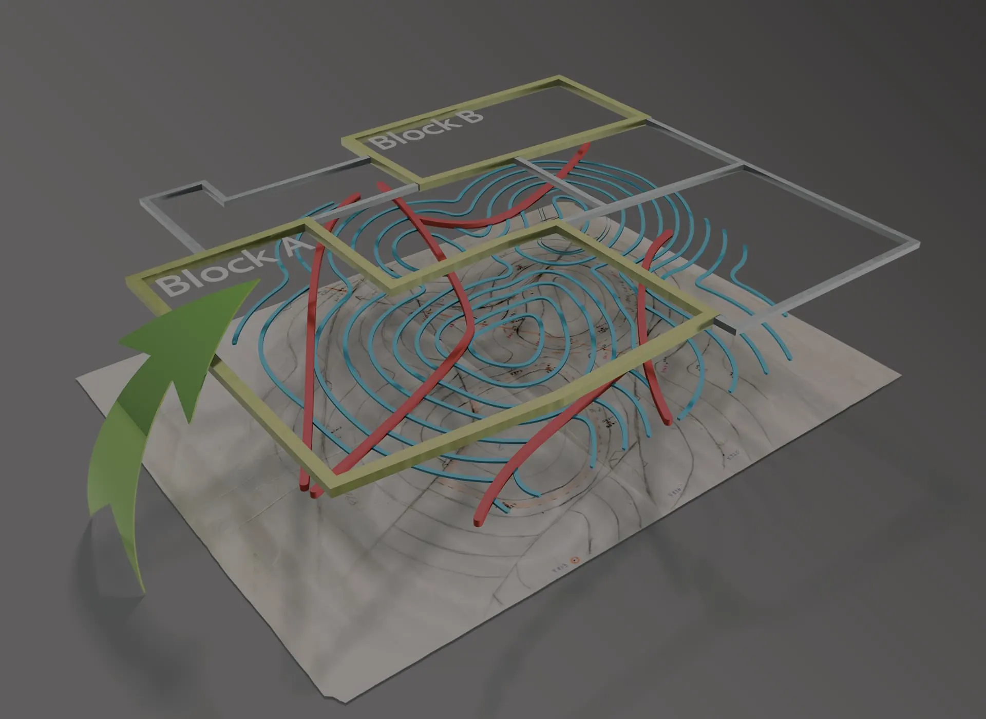

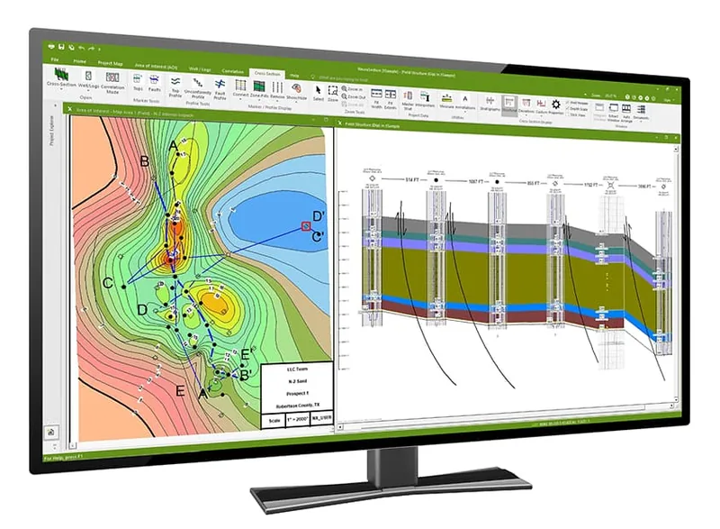
NeuraMap started as a map digitizing solution for geoscientists. This automated map digitizing solution works on hand-drawn, scanned map images and digital maps. Map digitizing is a critical component of working with map data for analysis as well as preserving map data for future projects. All relevant map data can be digitized and captured such as contours, faults, lines, points, and symbols. Whether you are digitizing your map data for further analysis or digitizing to preserve your data for future use, NeuraMap makes map digitizing easy for today’s geoscientists.
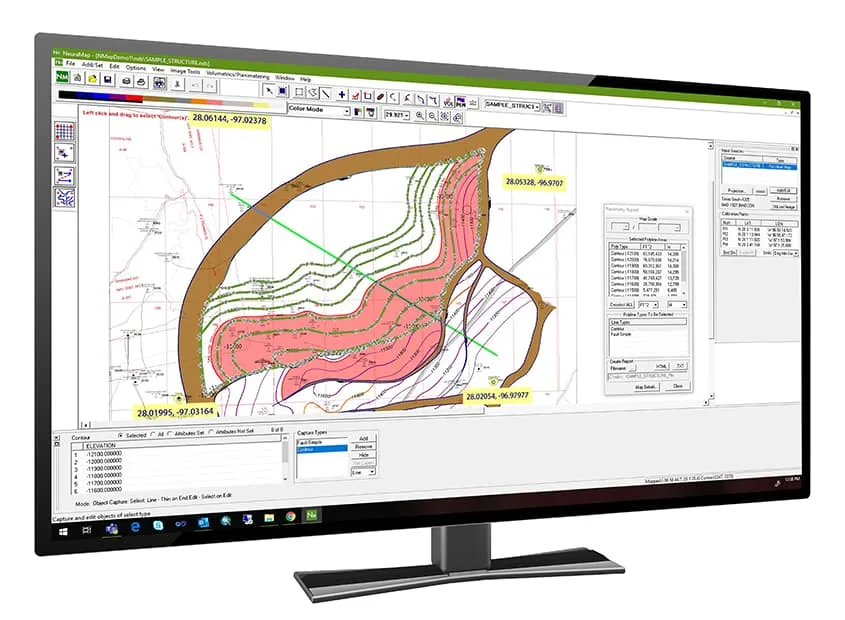
NeuraMap is the software of choice for computing Reservoir Volumetrics and Reserves. Use hand-drawn maps or import map vectors and instantly make Volumetrics and Reserves calculations on your reservoir. Standard formulas can be customized and any needed parameters input. Getting at this critical information has never been this easy.
“NeuraMap is a milestone to the map digitizing industry. It is an application of technology which increases speed and accuracy while decreasing physical stress. Because of its many features, it has become a work-flow shoe-in.”
T. Gamwell, Phillips Petroleum
Automated Tracing
Neural Network Speed and Accuracy drive tracing algorithms for
better-than-human tracing with highlighting of the contours for immediate feedback during the digitizing
process.
Automated Map Digitizing
NeuraMap is a digitizing, transformation, and QC system that
allows you to work with your paper maps, cross-sections, x-y plots, and other proprietary data. Legacy
data can be read by NeuraMap and overlaid on the original image for QC and editing. Data can be
re-projected to any of over 40 Map Systems and 400 Datums, or custom systems can be created. Digital data
can be exported, or your document can be marked with information such as calibration and projection for
reprint. Raster maps can be directly georeferenced and reprojected without digitizing.
Automated Data Capture
Color images are separated on the fly to aid in color-coded digitizing.
Printing
Maps in Image or Digital format can be printed with any Windows standard
printer.
Scanning
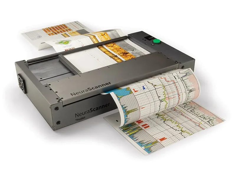
Maps can be scanned with the NeuraScanner directly into NeuraMap to prepare
for digitizing.
Distortion Correction
The effects of image skew and stretch are automatically
eliminated through calibration.
Intelligent Map Calibration
Wizard-based interface guides the entry of unlimited
calibration points.
Worldwide Map Systems
The latest Blue Marble Geographics is incorporated to support
over 12,000 mapping systems plus user-defined systems.
Industry Standard Output Formats
NeuraMap has been crafted to meet industry standards
in input/output formats. GeoTIFFs, in addition to many vector formats, are readily exported in the
projection of your choice. NeuraMap is the industry solution for workstation-ready map data.
Adjustable Image Orientation
Images may be correctly oriented through rotation or
mirror.
Multi-Source Input and Display
Raster images and compatible databases can be used for
data input. Multiple images can be merged into one seamless data set. Differently projected data can be
synchronized geographically.
Multiple sources can be opened at once with vectors displayed in all source documents. Vector and Image data sources can be merged for quality checks.
Easy Attribute Entry
Pop-up menus make entering repeated text strings easy.
Incremental numeric data is computed automatically. Unlimited attributes can be defined for each object
and legal values defined.
GeoTIFF Export (ArcView World Image File)
GeoTIFFs can be created from any scanned
image using any Map System. Choose Affine or Exact. Produce GeoTIFFs for industry applications such as
ArcView, GeoGraphix, PETRA, and Petrosys.
Layered Output
Data can be output in layers according to type and data source.
Database Translation
Data from any supported database can be input and then output
in any supported database format.
Data Quality and Map System Report
An ASCII report is generated after each NeuraMap
export.
Volumetrics Calculation and Reporting
Reserves Calculation and Reporting
Customizable reports
SYSTEM REQUIREMENTS NeuraMap* | |
|---|---|
| Component | Minimum Requirements |
| Supported Operating Systems | Windows 10 and Later |
| Processor | i5 Processor |
| RAM | 8GB RAM |
| Video Card Memory | 512MB |
| Disk Space | 50MB |
| Screen Resolution | 1920×1080 resolution |
*Specifications subject to change.
Source: https://www.neuralog.com/product-sheets/neuralog-products-solutions.pdf (opens in a new tab)
Looking for Support?
Accurately convert scanned logs into workstation-ready digital data.
Evaluate and display all available geological data to efficiently present the total play.
Quickly view, process, and print well logs and maps from multiple file types.
Purpose-built for scanning well logs and continuous documents from anywhere.